Google Maps Methane with AI: Detection Is Only Step One
Google and NASA JPL introduce MAPL-EMIT for methane mapping. Read the benchmark limits, confidence checks, dataset migration, and mitigation evidence needed.
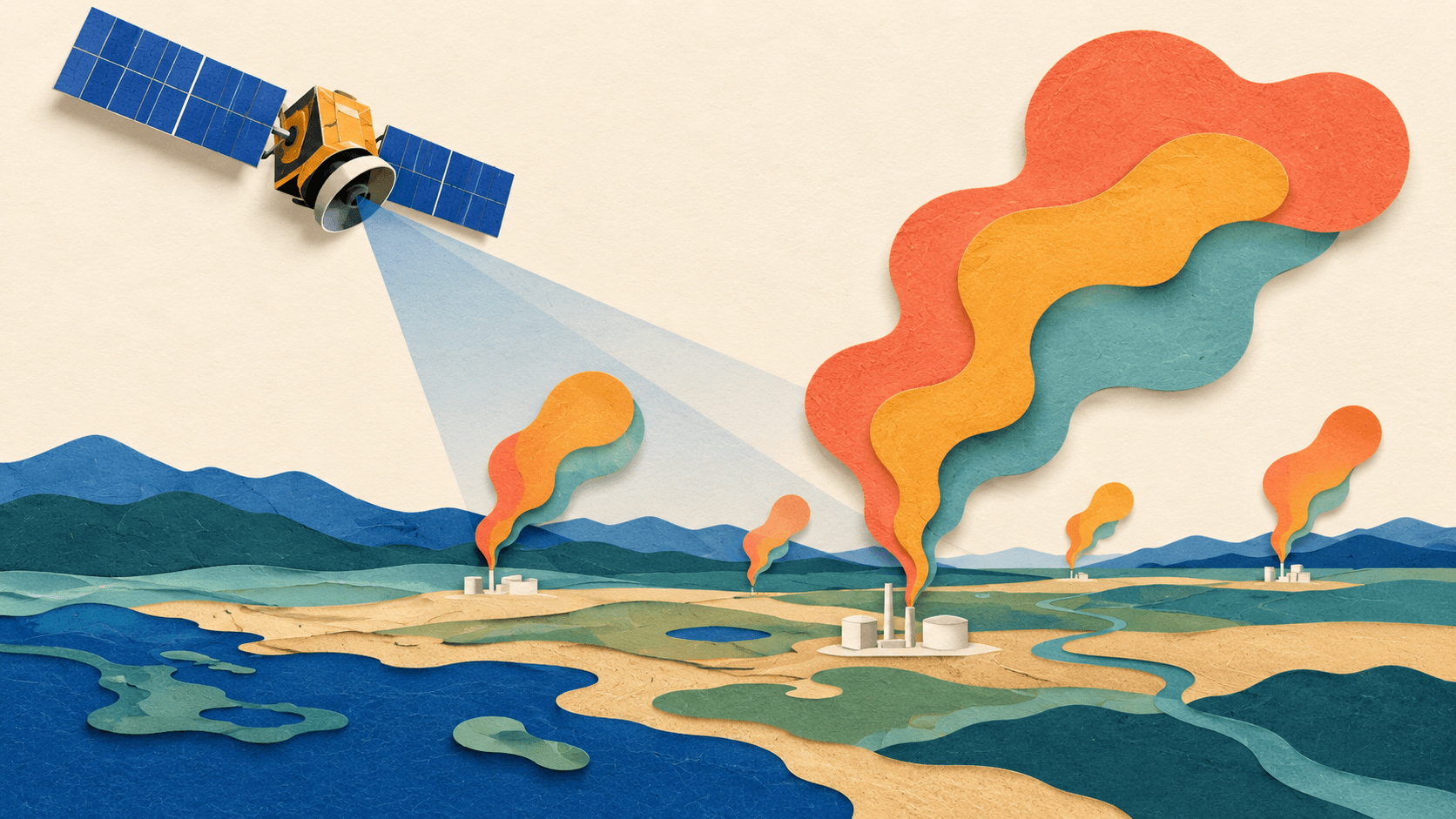
Bottom line
Google and NASA JPL introduce MAPL-EMIT for methane mapping. Read the benchmark limits, confidence checks, dataset migration, and mitigation evidence needed.
Editorial accountability
Who checked this guide
- Evaluation type
- Research-based verification
- Last materially checked
- Evidence
- 4 listed sources
Hands-on testing is identified explicitly. Research-based coverage uses cited product documentation and other named sources; it does not imply every paid plan was used. Read the full methodology.
Editorial basis
What this guidance is based on
- Editorial basis
- Source-led analysis
- Primary references
- 4
- Products covered
- 0
- Last checked
- 2026-10-05
Important limits
- • DiscoverAI has not performed a controlled hands-on benchmark or independently reproduced vendor results.
- • Access, plan limits, documentation and commercial terms may change.
In this guide
Short answer
MAPL-EMIT makes satellite methane evidence easier to investigate; finding a plume does not establish that a leak has been repaired. Google's September 9 announcement describes research with NASA JPL, with data and inference resources released for further work. For environmental nonprofits and operators, the useful next step is careful verification and a documented response.
What the researchers report
The announcement reports training on 3.6 million simulated plumes and identifying more than 23,000 additional plumes globally. These are study and vendor-reported results, not DiscoverAI measurements.
The research account supplies a more precise benchmark boundary: the model recovered 84% of expert-annotated plumes and found roughly 50% more plausible plumes across about 1,100 EMIT granules. Those figures should travel together. Greater sensitivity does not mean complete detection, and plausible detections still need uncertainty assessment. The architecture uses spectral and spatial context to estimate enhancements, delineate plumes, and locate likely sources.
Confidence and dataset versions matter
The original Earth Engine catalog entry is explicitly deprecated and points to a replacement asset under the climate-and-sustainability namespace. Do not copy an old asset identifier into a production workflow without checking that migration. The catalog describes model predictions, confidence fields, and repeated-observation criteria; its high-confidence subset reports roughly 3–5% false positives from human review of a random subset. That is a scoped estimate, not a universal error rate for every terrain or confidence tier.
The public inference repository is a starting point for reproducibility. Code availability alone does not establish that a third party has repeated the published results. DiscoverAI has not run this pipeline or independently reproduced the benchmark.
From detection to useful action
Our proposed workflow separates four stages: detection, source investigation, intervention, and follow-up measurement. Preserve the observation date, confidence tier, source-location uncertainty, asset version, and analyst notes. Request ground confirmation or additional observations before making a facility-level public accusation.
A map can help prioritize inspection. It cannot by itself prove a persistent leak, establish legal responsibility, or quantify the benefit of a repair. A signal missing from a later image may reflect observation conditions rather than successful mitigation.
A practical evaluation for a small organization
Choose a bounded region and a qualified technical partner. Review a small set of detections against available independent observations and keep ambiguous cases in the ledger. Record how many alerts become confirmed, actionable investigations, how much review they require, and whether follow-up evidence supports an intervention.
Budget for technical review and follow-up rather than treating open resources as a zero-cost operational service. Publish the uncertainty alongside any map. Keep observations distinct from estimates and causal claims.
What evidence should come next
The important milestone is independently checked action: confirmed sources, documented interventions, and defensible follow-up. More detections are a useful research result, but climate benefit depends on what people can verify and change afterward.
Sources and verification
Google methane announcement.
Google Research methodology.
Earth Engine original dataset and migration notice.
MAPL inference repository.
Sources and verification
Product details and claims were checked against the following primary sources.
Frequently asked questions
Is MAPL-EMIT a chatbot?
No. It is a research model for satellite methane-plume analysis.
Does 50% more detections mean perfect accuracy?
No. The research reports plausible additional detections and also documents incomplete recall and false-positive concerns.
Can I reuse the original Earth Engine asset?
Check the catalog migration notice first; the original entry is deprecated and links its replacement.
Did DiscoverAI reproduce the study?
No. This is source-based analysis and a proposed verification workflow.
Read next